Innikloof Hiking Trails - Loerie
- Loerie
Contact Catherina Wait
- 087 802 0012
- 082 569 7841
- 086 675 0110
- info@innikloof.com
- Visit Website
- Follow on Facebook
Location
-
Honey Clough
Kleinfontein
Hankey
- Longitude: 24.932334423065
- Latitude: -33.782964008039
- Map
Activities
- Bird Watching
- Guided Field Trip
- Hiking / walking
Languages
- English
- Afrikaans
Innikloof Hiking Trails
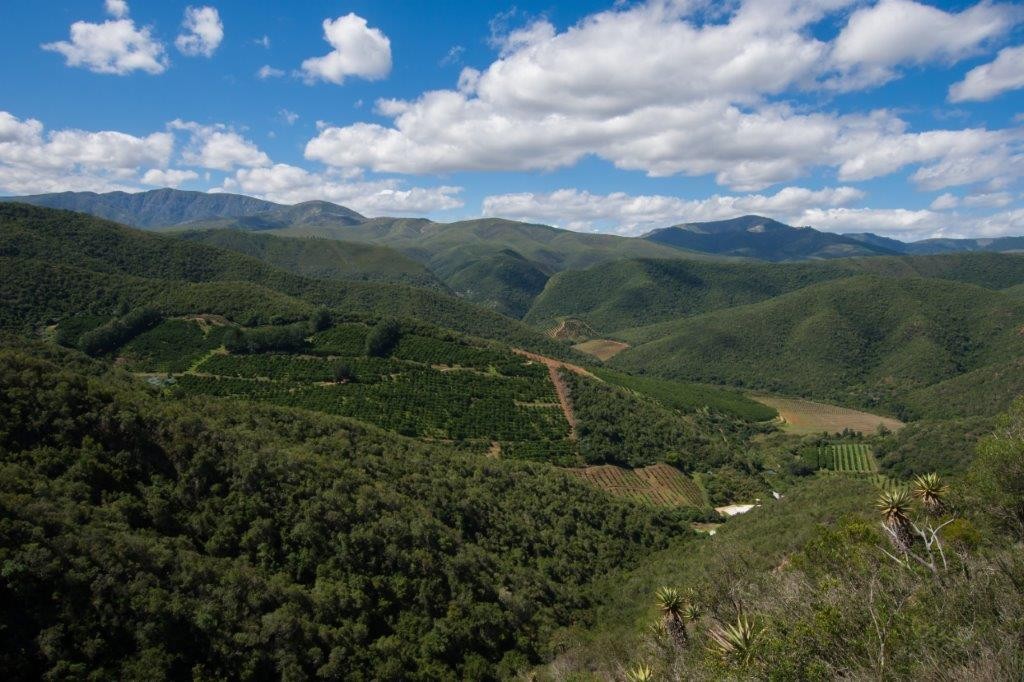
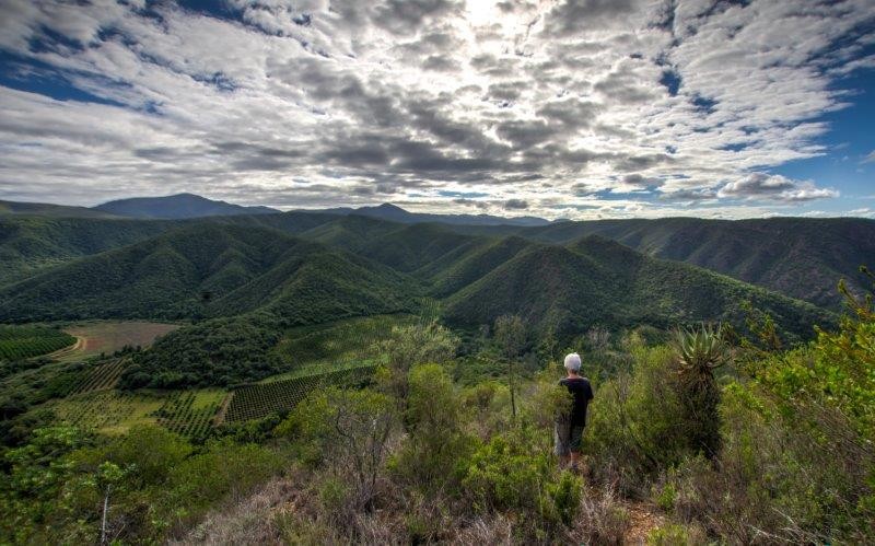
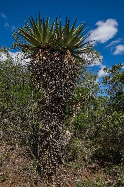
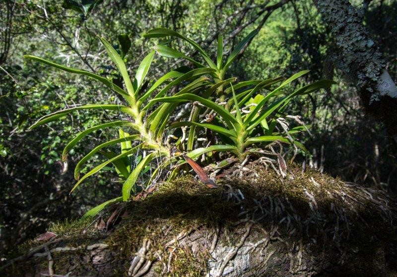
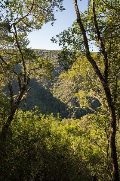
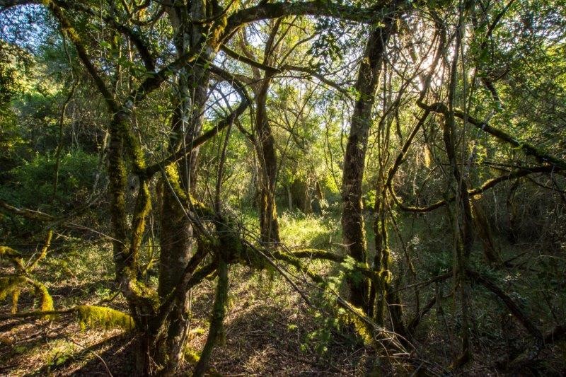
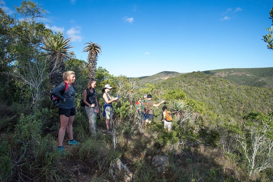

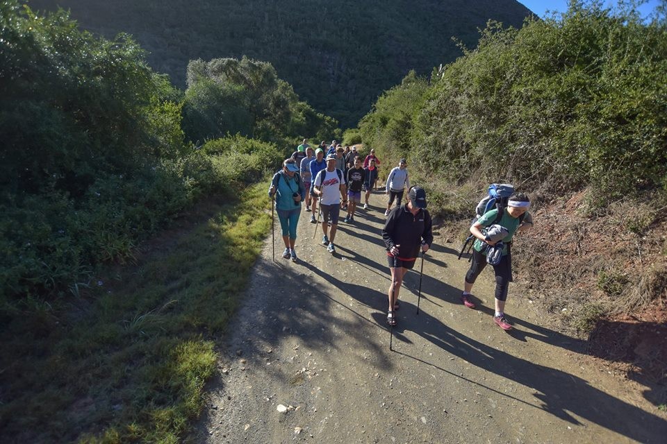
Our hiking routes take you to the top of the mountains and give you breath-taking views of the valley and the bush along the way.
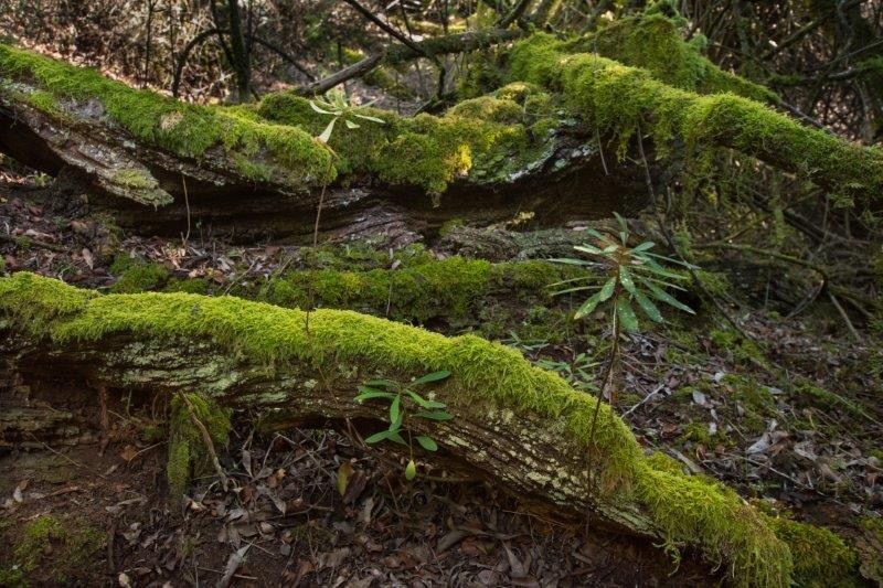
It is interesting to realise that one uses the same route as different animal do, as can be seen in the bushbuck and bush pig tracks and discarded porcupine quills.
Hiking guests make use of Boskrapper, our bush camp as a base. Ablution, swimming and braai facilities are available.
Booking is essential as we limit the number of hikers per day.
Die Nek Hiking Trail
Die Nek is 2.52km in distance with 358m in elevation changes. The route takes you to the top of the mountain and gives you breath-taking views of the valley and the bush along the way before dropping to the bottom of the kloof on the way back. The route will take about 2 hours to complete.
Draai se Kloof Hiking Trail
Draai se Kloof is 2.28km in distance with 376m in elevation changes. The route follows an old hunting trail on the shady side of the mountain to the top. The way back has lots of panoramic views of the surrounding area. The route will take about 2 hours to complete.
Numbers limited - please book - mail your detail to us at cdwait@innikloof.com
"Weather permitting"


